Statskog
Statskogmillionen
Each year, Statskog allocates funding to various grassroots projects across Norway through the 'Statskogmillionen' initiative. These projects, which vary in size, all share the common goal of engaging people in outdoor activities and creating social meeting spaces.
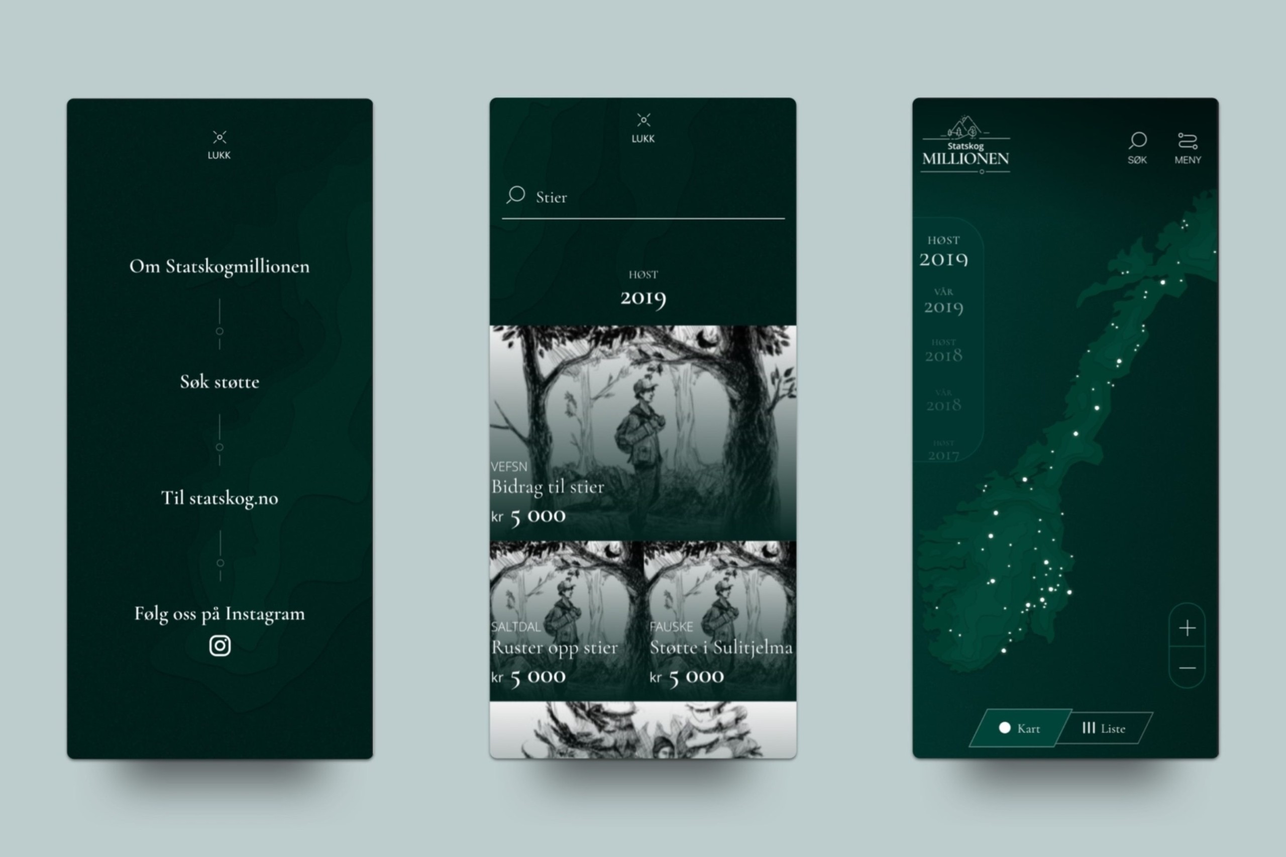
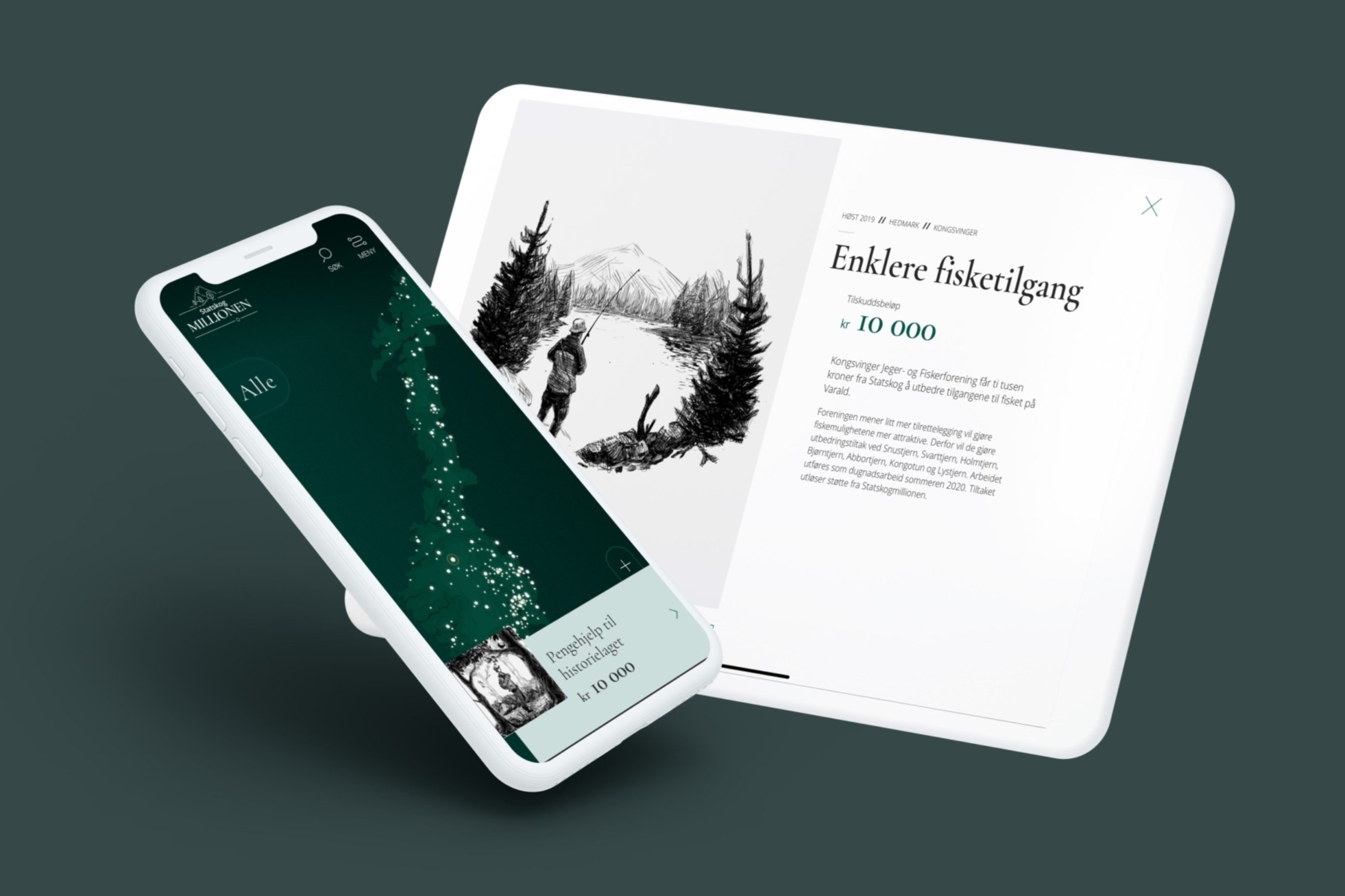
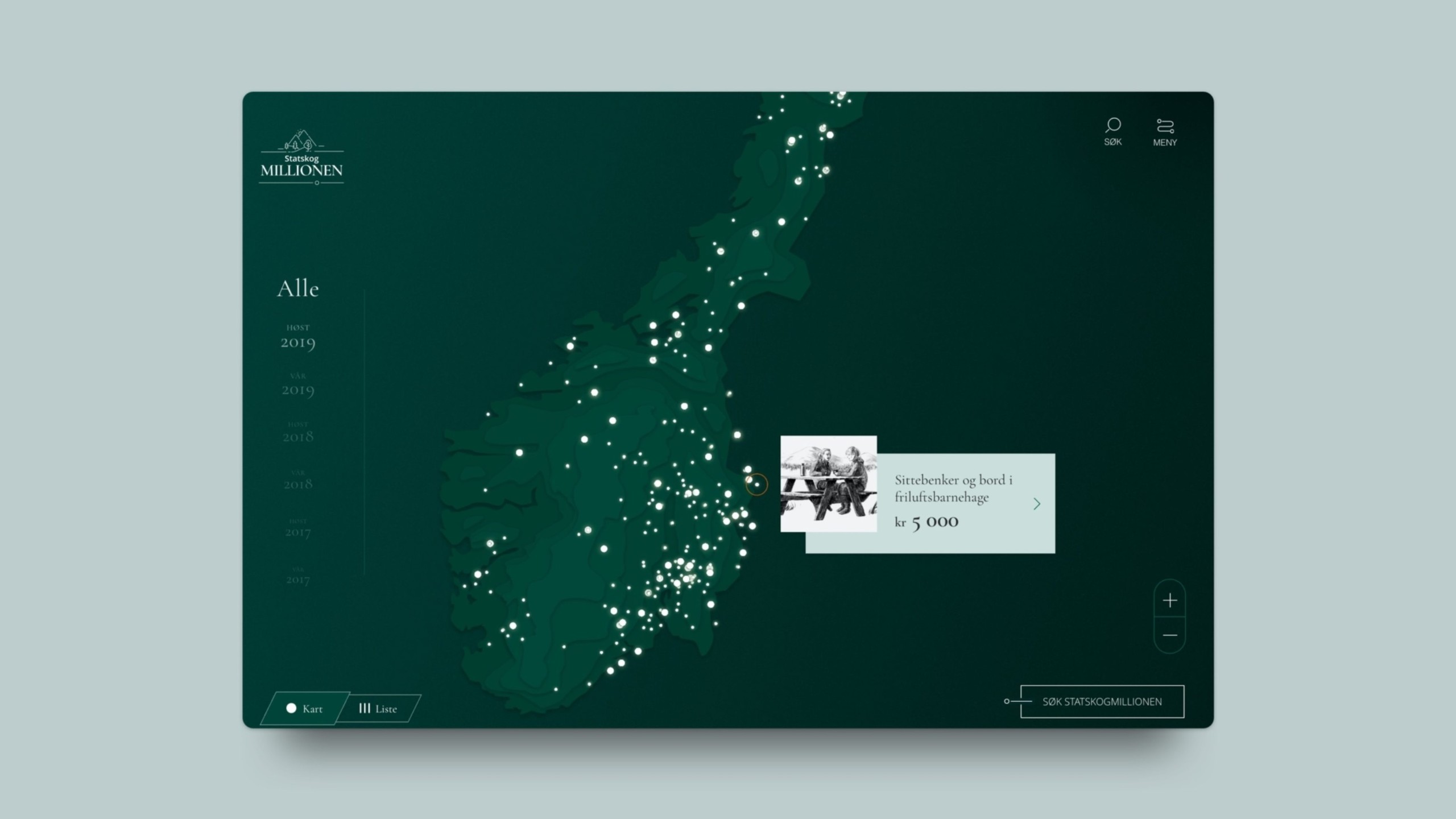
The interactive map of Norway, built in WebGL.
Challenge
For the 2019 funding round, Statskog aimed to make information about previously funded projects more accessible and visible to the public.
Solution
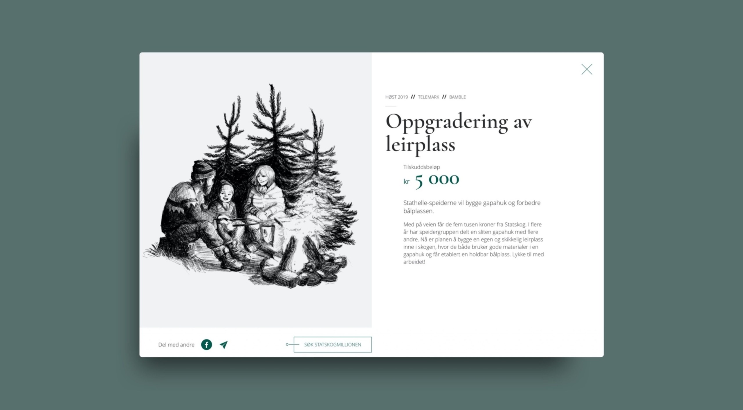
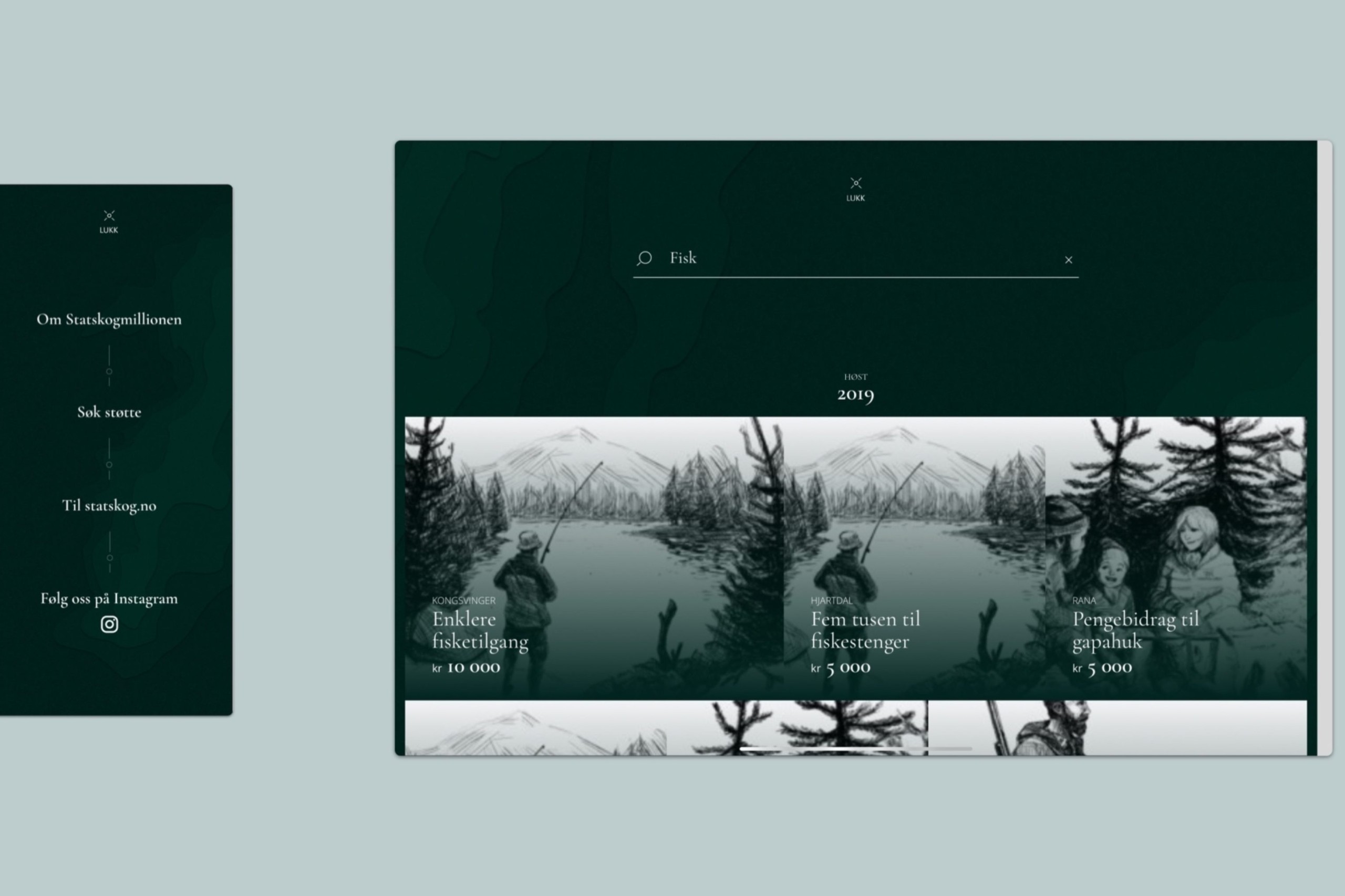
Using WebGL technology, we created an interactive map of Norway, allowing users to easily explore and click on funded projects. The map also features a list view and search function for a more straightforward navigation experience. The visual design draws inspiration from user-friendly mapping solutions, with topographic elements that align with outdoor themes of forests and nature. Each project has its own dedicated page, showcasing images and providing an option to share information. We used illustrations inspired by traditional ink drawings of flora and fauna, modernizing them with animations to bring them to life.
- Bronze
- European Design Awards
- 2019